⛏️
Data digitization & formatting
Convert legacy sources (LAS/DLIS/PDF) into consistent digital files with naming conventions and units.

Subsurface data • Logs • Interpretation • Modeling support
We organize, QC, and interpret subsurface information—from LAS/DLIS/PDF to clean digital deliverables— so you can move faster with confidence.
Simple scope. Clean deliverables. Professional presentation.
Convert legacy sources (LAS/DLIS/PDF) into consistent digital files with naming conventions and units.
Structured inventories, well/file indices, and searchable metadata so you can find what matters quickly.
Curve checks, depth matching, missing intervals, duplicates, versioning, and audit-ready documentation.
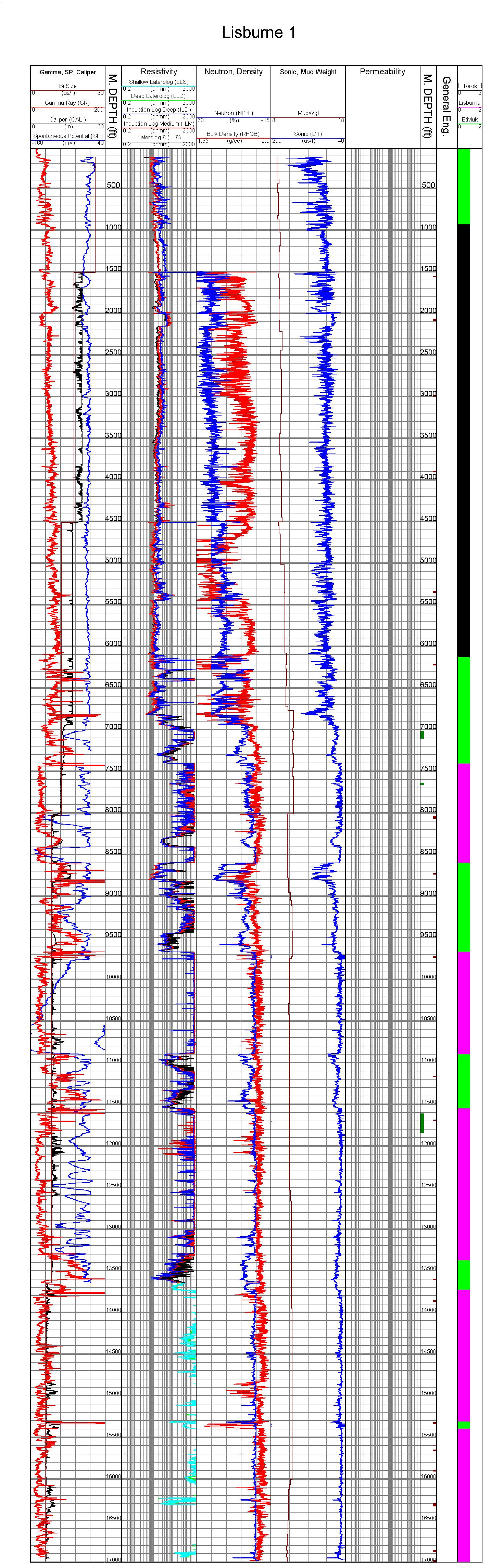
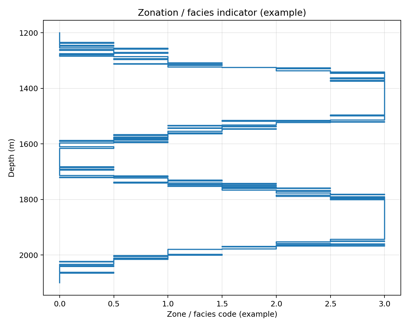
Basic petrophysical interpretation support, zonation summaries, and report-ready plots.
Data conditioning, facies inputs, property trends, and exports aligned with modeling workflows.
Clean simulation inputs and cross-checks: PVT, relperm/Pc tables, and run-ready datasets.
A predictable, traceable process—so your data stays defensible and reusable.
We agree on scope, formats, naming rules, and deliverables.
Convert, normalize units, and structure files.
Automated + manual checks; issues tracked and reported.
Exports, plots, and summaries aligned with your tools.
Well-organized folders, versioned files, and clear documentation—no mystery spreadsheets.
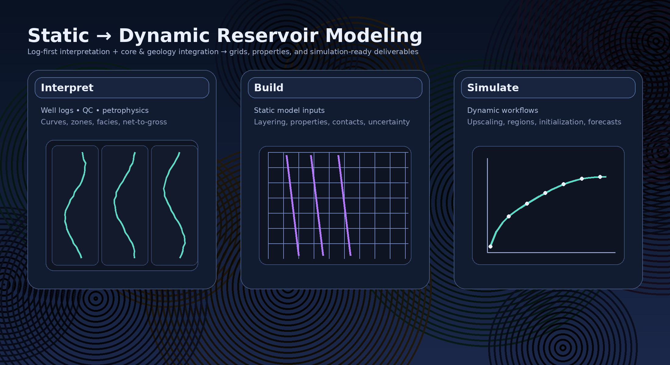
From petrophysics and geology to simulation-ready inputs, with clear QC and traceability.
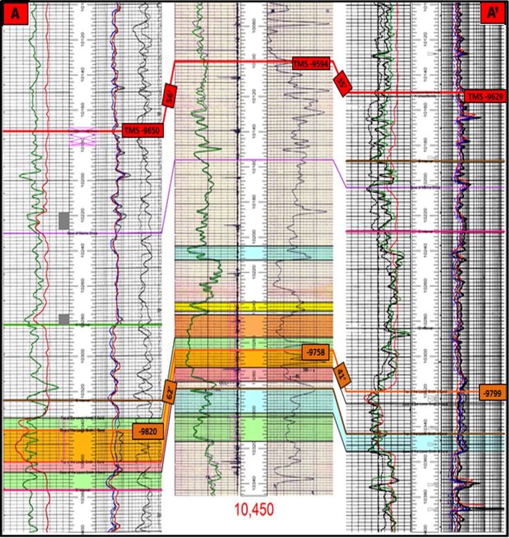
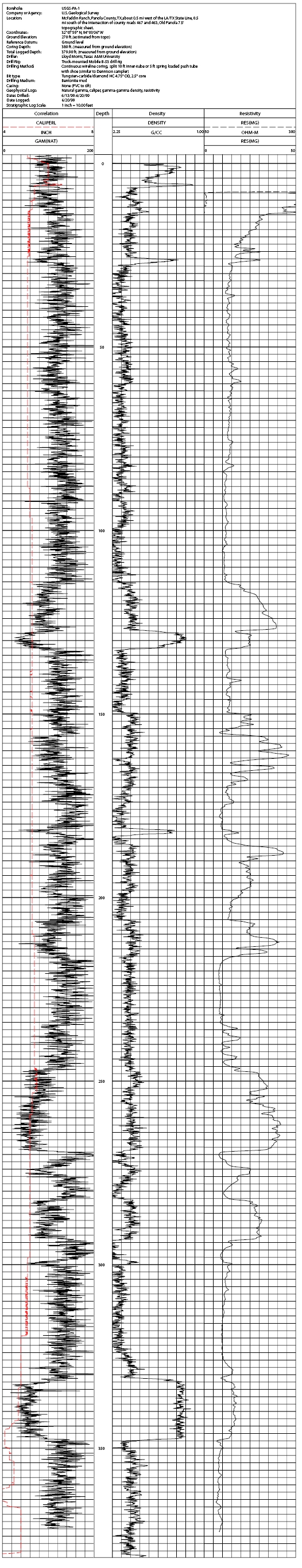
A realistic “before → after” workflow. (Your real project stays confidential; these are illustrative outputs.)
We tailor deliverables to your stack (Techlog/Petrel/Excel/CSV).
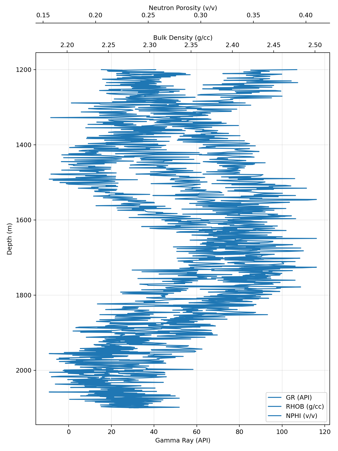
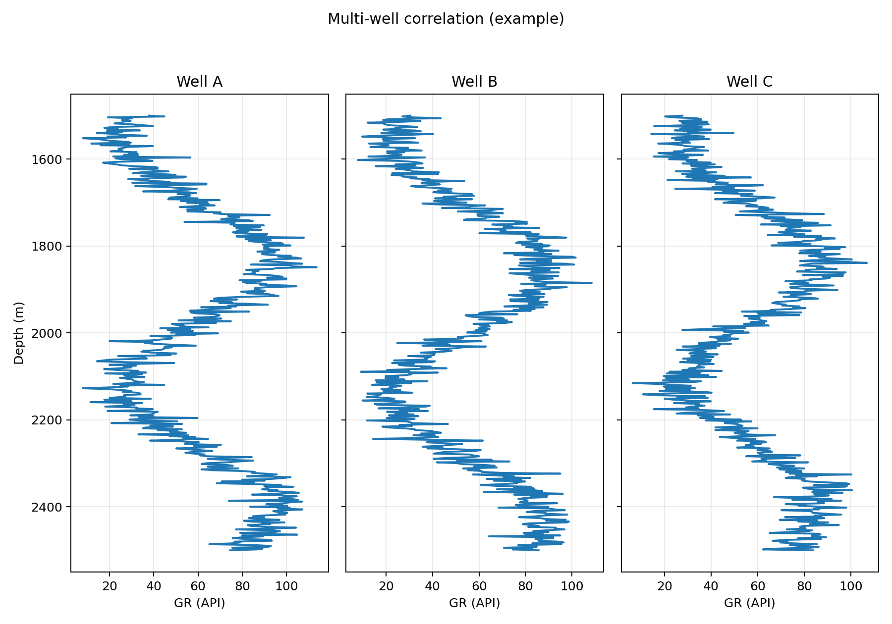
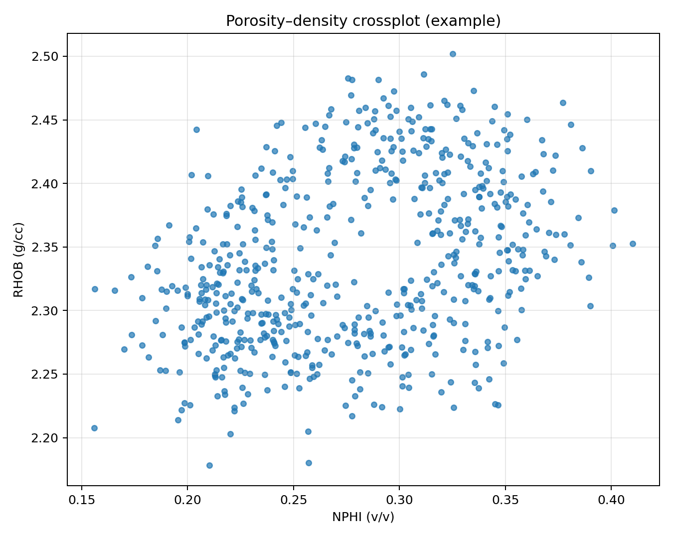
Examples: standardized curves, zonation summary, QC log, and model‑ready tables.
These are public-domain / open-license examples—useful for visual credibility. We can replace with your own (and blur/redact anything sensitive).
Premium visuals that match a log‑centric workflow (logs + core + geology + modeling).

This version keeps things simple: a few curated images live in /assets, and the rest is lightweight HTML/CSS.
You can update the visuals later without changing the structure.
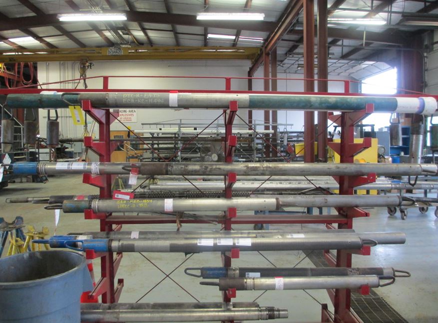
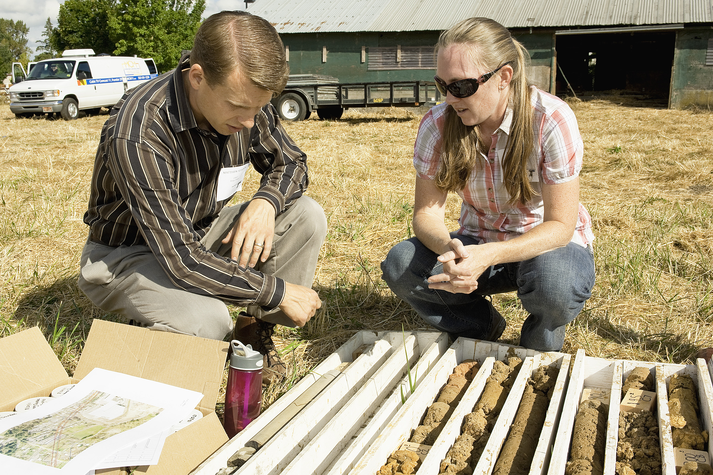
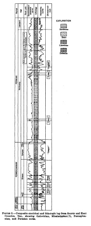
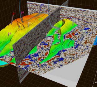
Representative visuals from the province’s offshore and support ecosystem—paired with a log‑first workflow.


Examples below show the style of log QC, correlations, and modeling‑ready outputs we can produce. The Petrel screenshot is from Wikimedia Commons (CC BY‑SA); the plots are generated examples.
“Techlog” and “Petrel” are trademarks of their respective owners. We provide compatible deliverables; this site is not affiliated with the trademark holders.
We focus on well logs and integrate core and geology to improve interpretation, then deliver static models and dynamic simulation‑ready inputs. Seismic can be incorporated when available, but it’s not the centrepiece.
We deliver layered outputs that respect the license and redistribution terms of your source data.
Even when a dataset is public, its license can restrict redistribution. In those cases, we provide compliant deliverables (e.g., derived curves, summaries, QC reports, indices, and workflows) instead of raw files.
We can deliver in tiers: references/links → processed & standardized → interpretation/modeling inputs. You stay compliant while still getting decision‑ready outputs.
Every output can include provenance (source, date, license notes, processing steps) so your team can audit and reuse the workflow.
If you can’t share raw files—even if they’re public—we’ll still help you by delivering compliant, high‑value derived products and documentation.
Send the scope (what you have + what you want). We’ll respond with a clean plan and timeline.